Bengaluru is getting ready for a big change in how people get around, thanks to the 280-kilometer Satellite Town Ring Road (STRR) expressway that's almost done. This huge project will connect 12 big towns and hundreds of villages near the city. It's going to change how people commute, how the housing market looks, how goods are moved, and just the general feel of living in Karnataka. If you live here, invest here, do business here, or just like cities, you need to know what the STRR will be like in 2025. Here's a look at where it goes, how it's being built, what it will do, and what it all means for regular people.
Introduction: The Vision Behind Bengaluru’s STRR
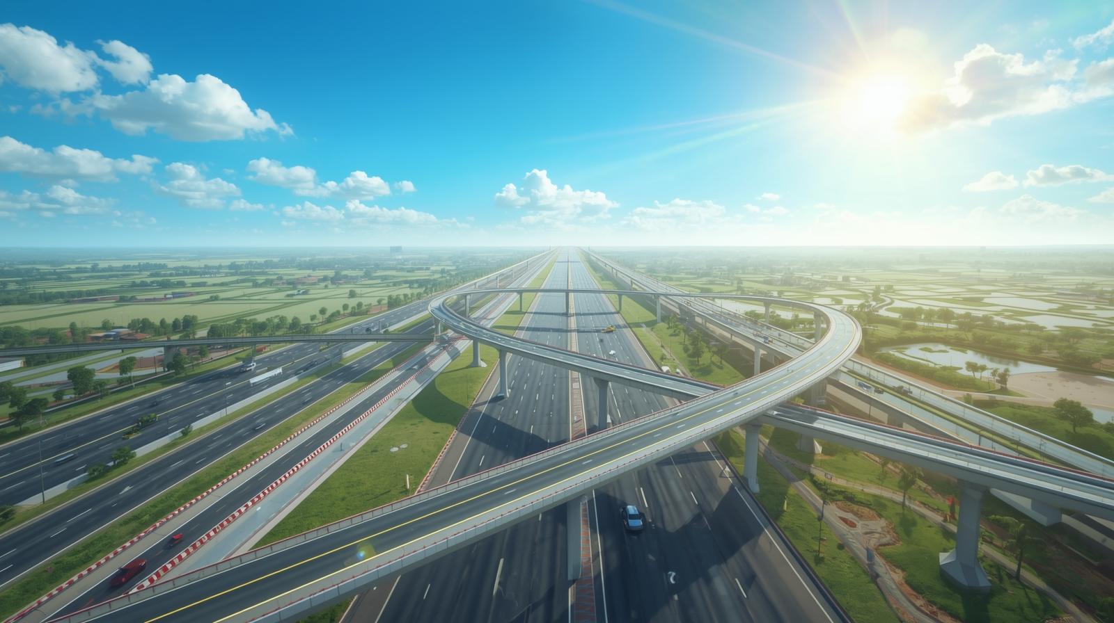
The STRR is planned as a fast ring road with controlled access. It will let cars and trucks go around the busy city center, which should cut down on traffic jams. The road will also link important industrial areas, logistics hubs, and new housing areas. The NHAI and the Karnataka government are paying for it together. This project is part of the Indian government’s Bharatmala Pariyojana program, which supports the country's plan to improve city infrastructure.
Fast Facts & Current Status
Project: Satellite Town Ring Road (STRR), Bengaluru
Length: 280 kilometers
Number of Towns Linked: 12 (plus 331 villages)
Completion Target: December 2025 (some phases may extend into 2026)
Budget: ₹15,000 crore (approx.)
Agencies: NHAI, Karnataka Govt., STRR Planning Authority
Phases: Three parallel segments under different execution/finishing stages.
Key Towns Connected by STRR
| No. | Town | Key Features/Role |
|---|
| 1 | Dobbasapete | Industrial zone, NH-48 link |
| 2 | Doddaballapura | Logistics hub, NH-648 link |
| 3 | Devanahalli | KIA Airport, tech parks |
| 4 | Sulibele | Connectivity node |
| 5 | Hoskote | Warehousing, NH-75 link |
| 6 | Sarjapura | IT corridor, SEZs |
| 7 | Attibele | TN border, manufacturing |
| 8 | Anekal | Residential, transit hub |
| 9 | Tattekere | Eco belt |
| 10 | Kanakapura | Agro-processing, tourism |
| 11 | Ramanagaram | Silk & granite industry |
| 12 | Magadi | Rural, gateway town |
Additionally, 331 villages will have direct or feeder access to the expressway network.
Construction Progress & Upcoming Structure
First 80 km: Inaugurated in March 2024, connecting critical northern and eastern nodes.
Phases/Packages: Remaining stretches progressing through land acquisition, road-laying, and bridgework—with focus on finishing the full loop by end-2025.
Integration Points: STRR will intersect with six National Highways and eight State Highways, enabling efficient regional movement.
Urban Planning: The STRR Planning Authority oversees land use, residential layouts, and service integration along the corridor.
Why STRR Matters: Impact on Bengaluru & the Region
1. Traffic Decongestion
STRR provides a dedicated bypass, reducing pressure on the city’s core. Trucks and long-distance traffic can avoid city streets, improving commute times for everyone.
2. Real Estate and Economic Hubs
Adjacent towns like Devanahalli, Hoskote, and Sarjapura are already seeing a surge in land values, new logistic parks, IT clusters, and modern housing presets, as accessibility and demand rise.
3. Logistics & Industry
The expressway allows for seamless freight movement, reducing costs, supporting ‘just-in-time’ supply chains, and encouraging the growth of warehousing and ancillary industrial units around Bengaluru's periphery.
4. Urban-Rural Integration
STRR will bring city services, economic opportunity, and better infrastructure to hundreds of villages, easing migration to the core and supporting balanced regional growth.
Detailed Route & Features Table
| Section | Major Towns Crossed | Expressway Length (km) | Status (as of 2025) |
|---|
| North-Eastern | Dobbasapete, Doddaballapura | 65 | Open/Inaugurated |
| Eastern | Devanahalli, Sulibele, Hoskote | 55 | 90% complete |
| Southern | Sarjapura, Attibele, Anekal, Tattekere | 70 | 80% complete |
| South-Western | Kanakapura, Ramanagaram, Magadi | 90 | 70% complete |
Frequently Asked Questions
Q1: What's the big deal about STRR for people in Bengaluru?
A: It mainly cuts down on city traffic, makes trips between towns faster, helps the economy grow, and makes shipping stuff easier.
Q2: Which towns will get the most out of it?
A: Places like Devanahalli (near the airport), Hoskote (lots of warehouses), Sarjapura (tech stuff), and Ramanagaram (factories) are set to gain the most.
Q3: How will STRR impact house prices?
A: Prices are already going up near the road, and they'll probably keep rising as it gets easier to get around and new projects pop up.
Q4: When will it be totally done?
A: The whole thing should be finished by December 2025, but some bits might take a little longer, maybe into 2026.
Q5: Can big trucks and regular traffic use the expressway?
A: STRR will limit access for long haul freight, but local town and city traffic can get on and off at interchanges and local service roads.
Conclusion
The 280 km Satellite Town Ring Road around Bengaluru is going to change things up for the area. The way people travel, work, and how the region grows is involved.It's supposed to be done by late 2025, and when it is, the suburbs and towns around the city should get a boost, along with new industrial and logistics opportunities. Plus, it should help with the traffic jams in Bengaluru.
For investors, businesses, people who have to drive to work, and local governments, the STRR should really help grow instead of being so jammed up. It will be worth it in the long run too.
Trending News In Real Estate